Macritchie Reservoir.. Treetop Walks & More!
Hey guys, in today’s post, I share about Macritchie reservoir — one of my favourite parks in Singapore!
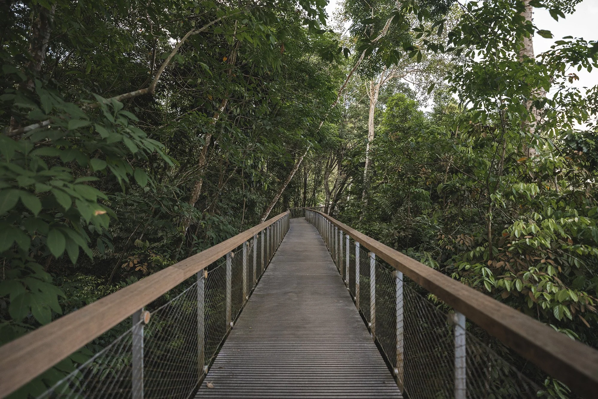
What I especially love about this place is the boardwalks, especially the Chemperai trail (click link for google map) which has breathtaking views of the reservoir. I didn’t get a chance to cover this trail but I will do so next time. In this post, I will be talking about Windsor nature park, the Petai and Prunus trails at Macritchie reservoir and the Macritchie treetop walk (click links for google map).
There isn’t an mrt (train) station that’s close by to the entrances of both the Windsor nature park and Macrtichie reservoir so the best commute option would be by bus (for public transport) or a ride sharing app like Grab. You can also find parking at these places if you choose to drive your own vehicle.
I made 2 vlogs about my time at the reservoir so if you want, you can check it out below or on my youtube channel.
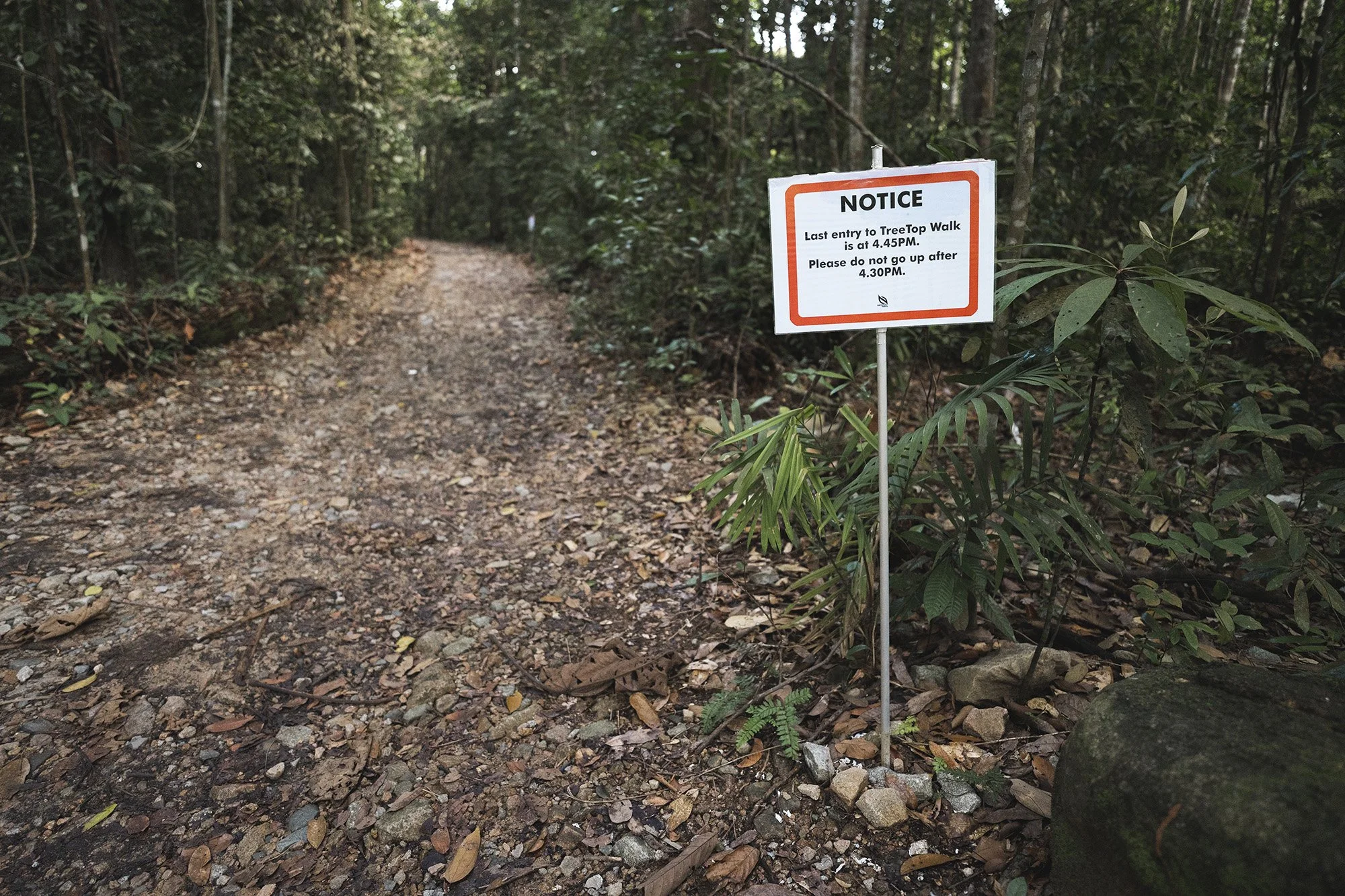
I recommend going to the reservoir on a weekday as it will be less crowded than on a weekend. I was surprised to find a lot of people at the reservoir on a late Saturday afternoon. The treetop walk also closes quite early (last entry is at 4.45pm) so be sure to give yourself ample of time when planning your route.
Unfortunately, there is no shortcut to get there. You have to make it there by foot and the quickest way to get there is by the Windsor nature park. It will take you about an hour of leisurely strolling to get there from Windsor.
Windsor Nature Park


Squirrel trail
Drongo trail
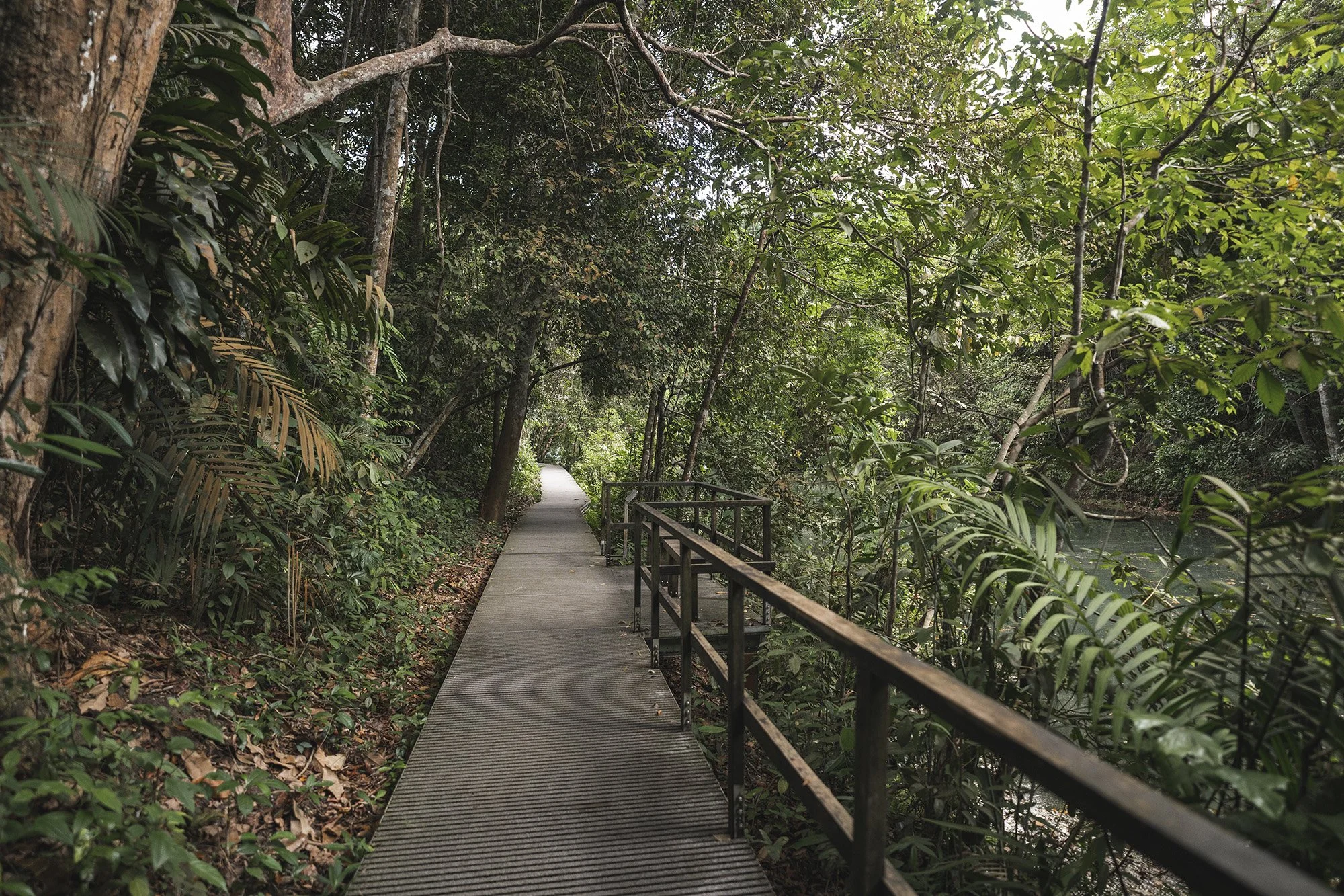
At Windsor nature park, I recommend taking the squirrel trail followed by the drongo trail. These are mainly boardwalk trails with really nice scenery. You also have the venus link if you prefer a more ‘off-the-beaten-path’ experience. (click links for google map)
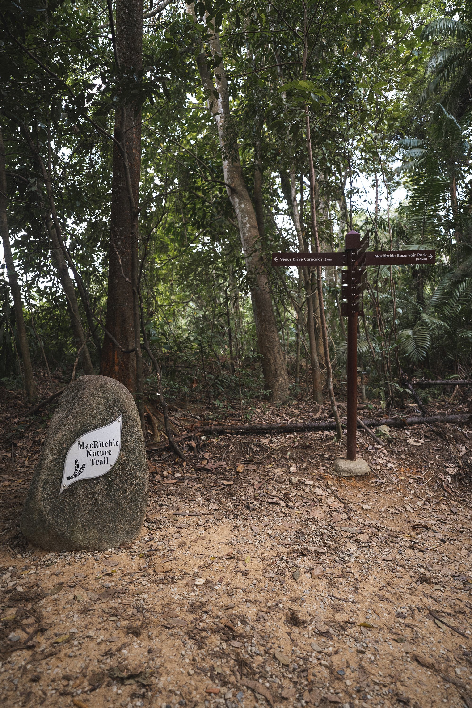
macritchie nature trail
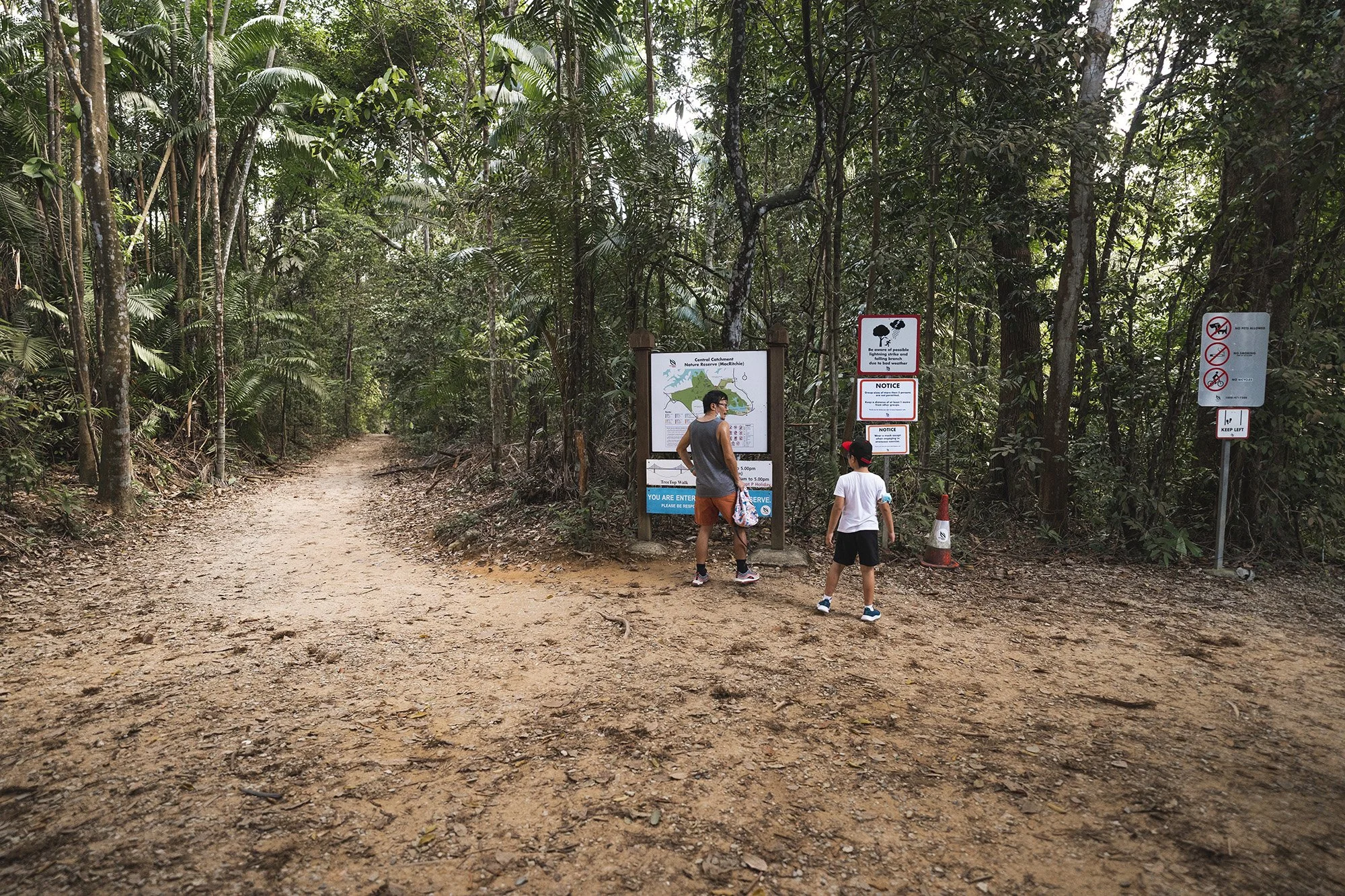
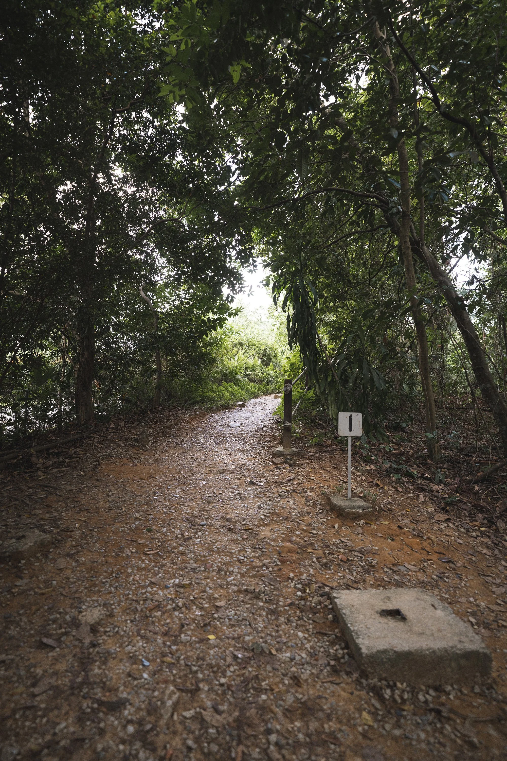
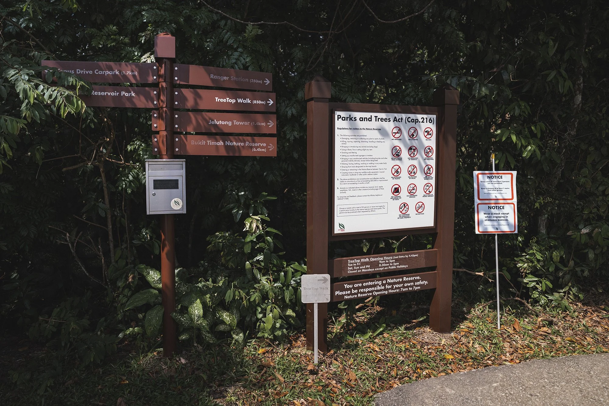
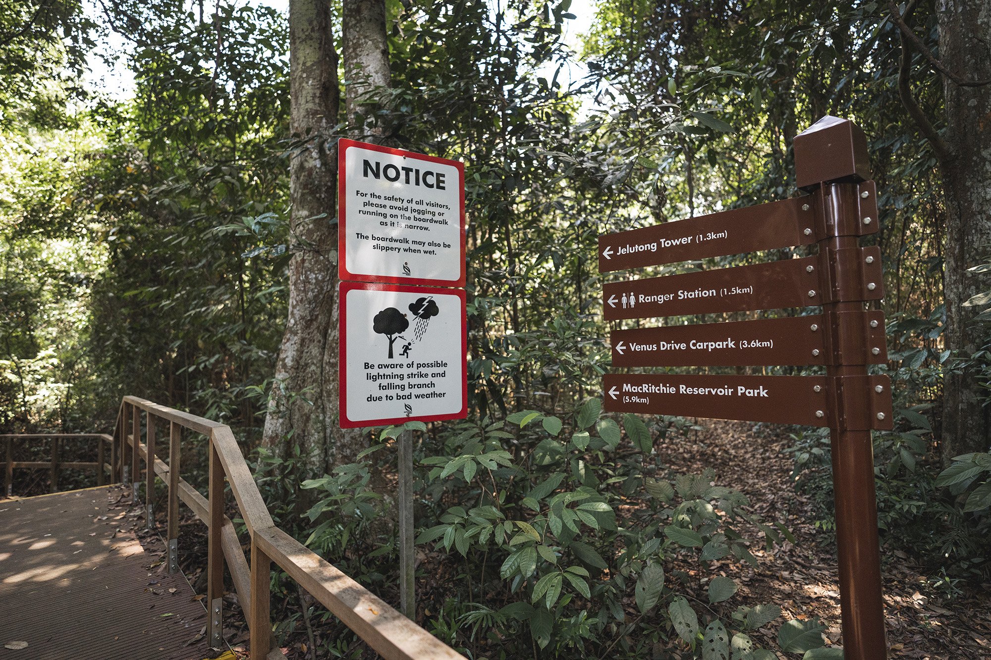
Eventually you will come across the converging point where Windsor nature park meets Macritchie reservoir. In my first vlog, I made a left (in the photo above) to head down towards Macritchie reservoir. The treetop walk is on the right (in the photo above) but more on that later.
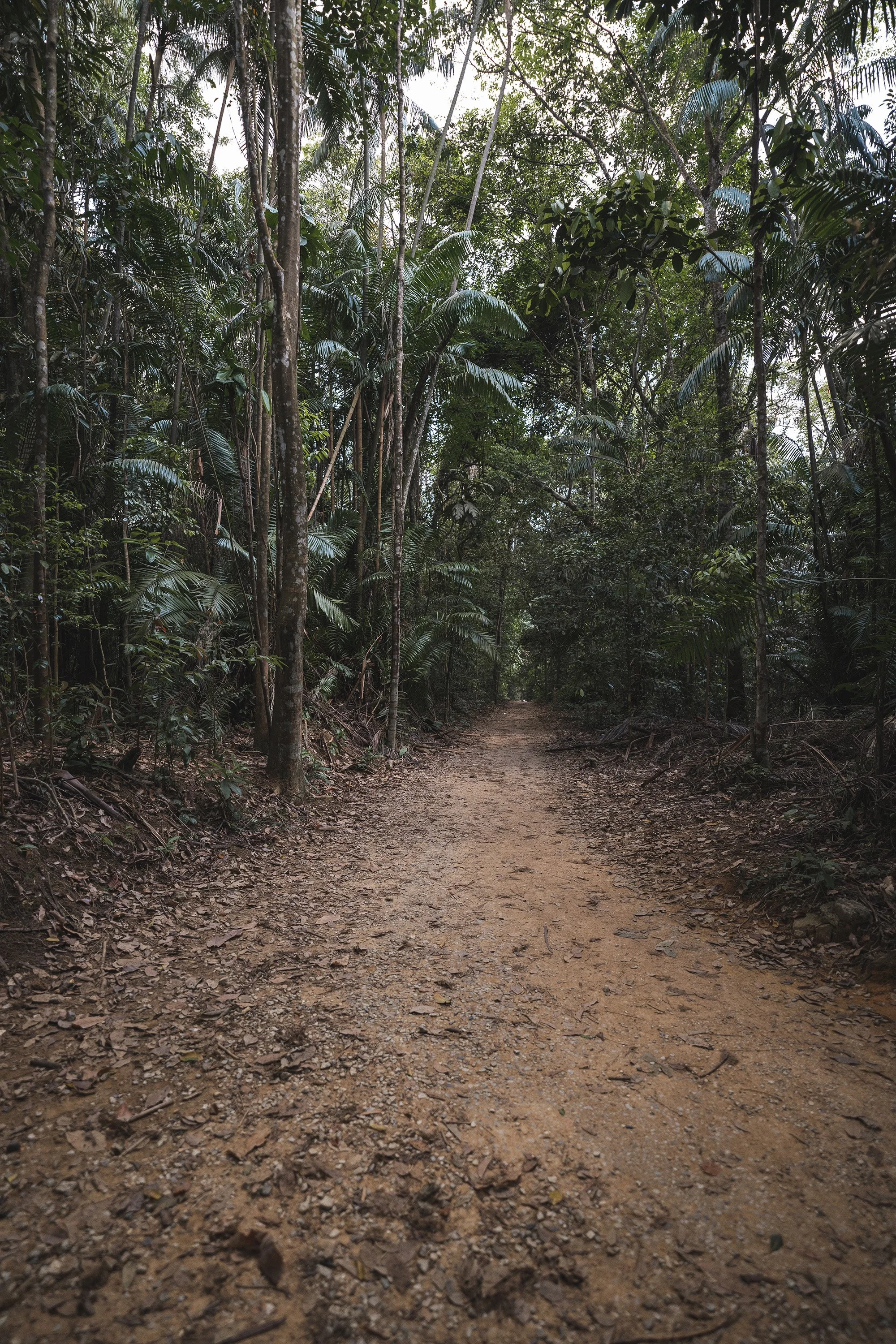
The left photo shows the path to Windsor nature park while the right photo shows the path to Macrtichie reservoir.
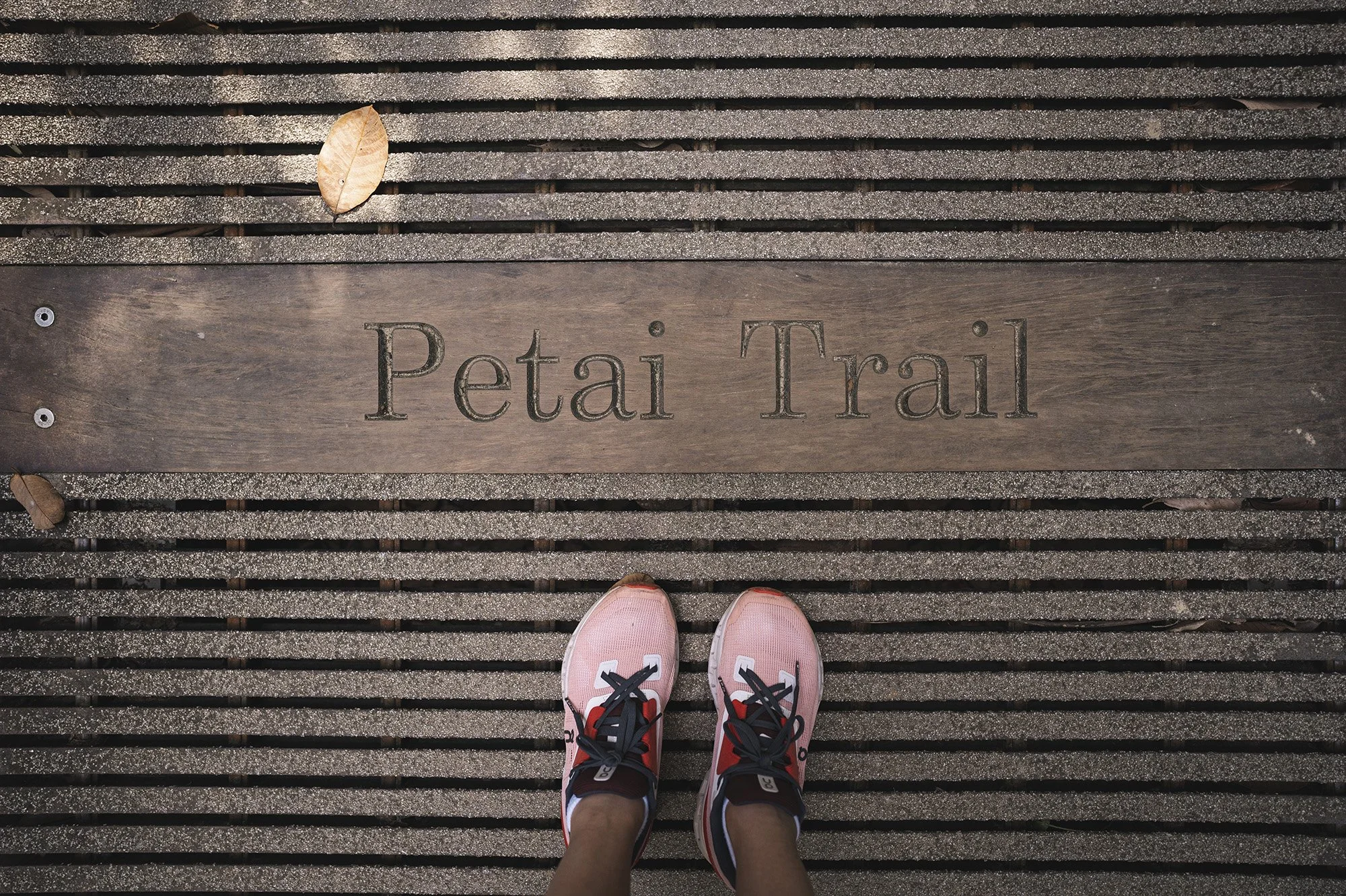
petai trail
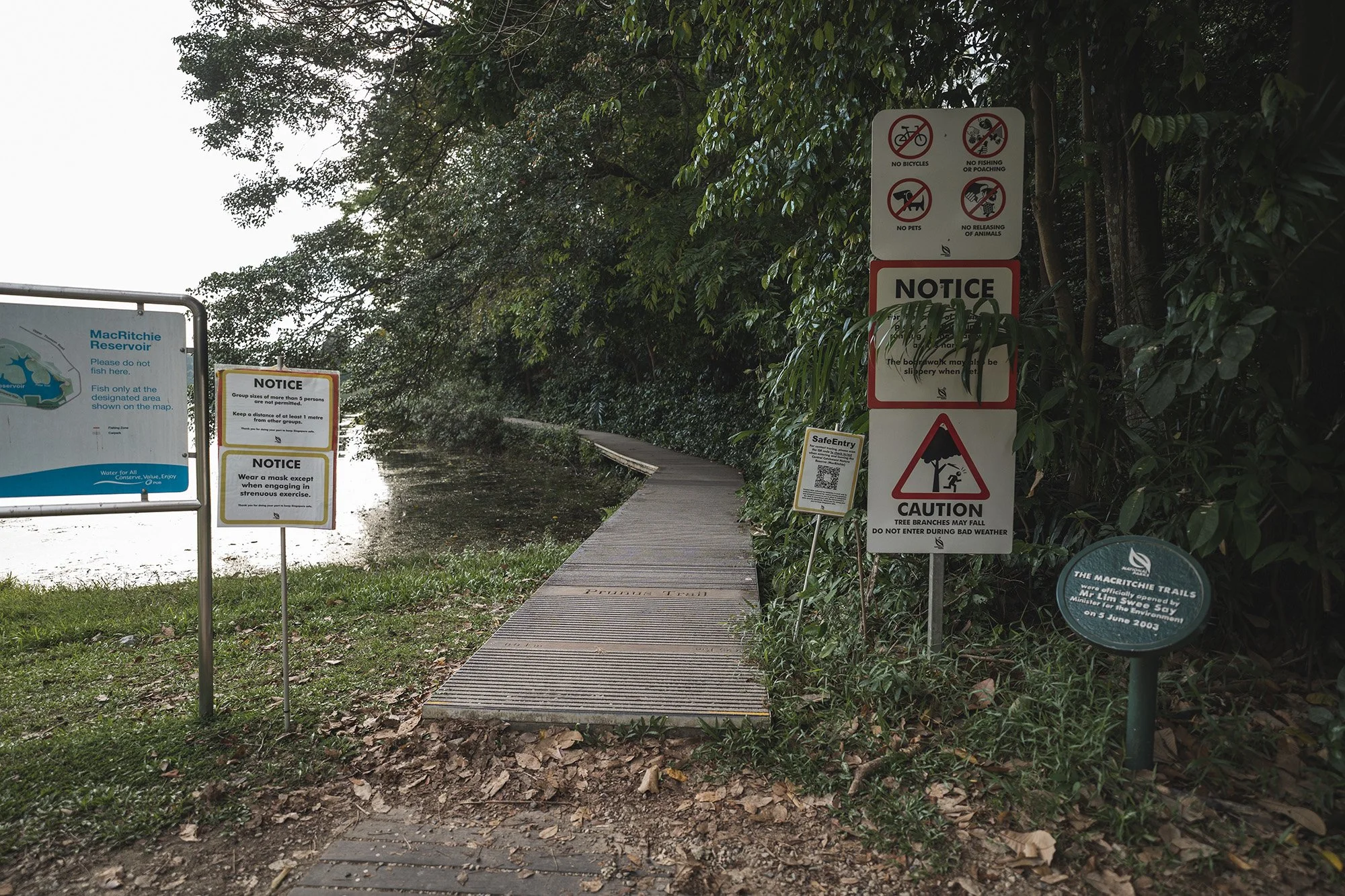
As mentioned earlier, my favourite trail is the Chemperai trail but that is on the other side of the Macritchie reservoir. On this side of the reservoir, you will come across the Petai and Prunus trail which is connected to each other. Depending on where you are starting from, in this case, Windsor nature park, you will come across the Petail trail first. There will be a sign and a set of wooden stairs going down, indicating this trail which will take you off the dirt path of the Macritchie nature trail and onto the Petai trail.

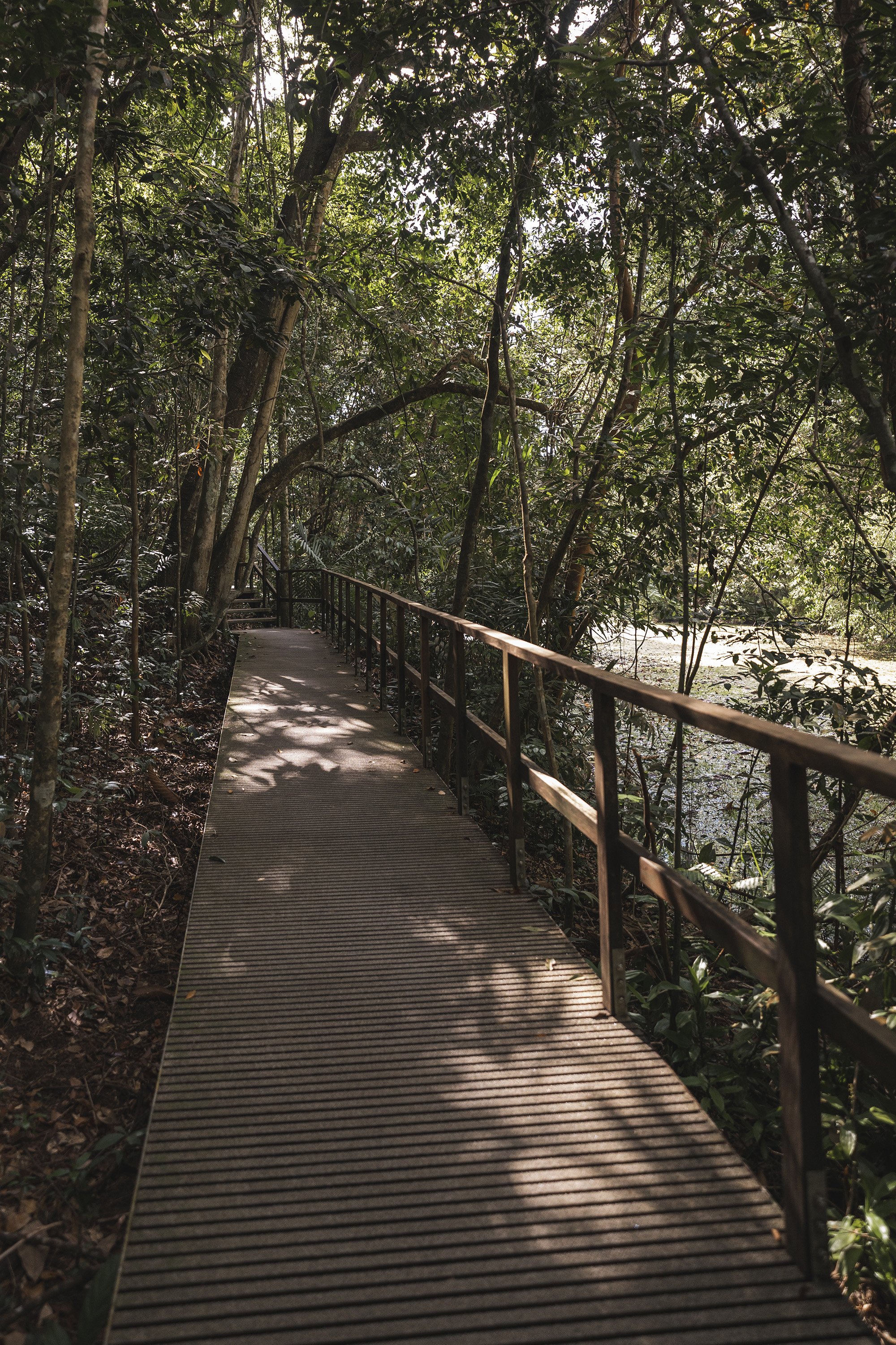
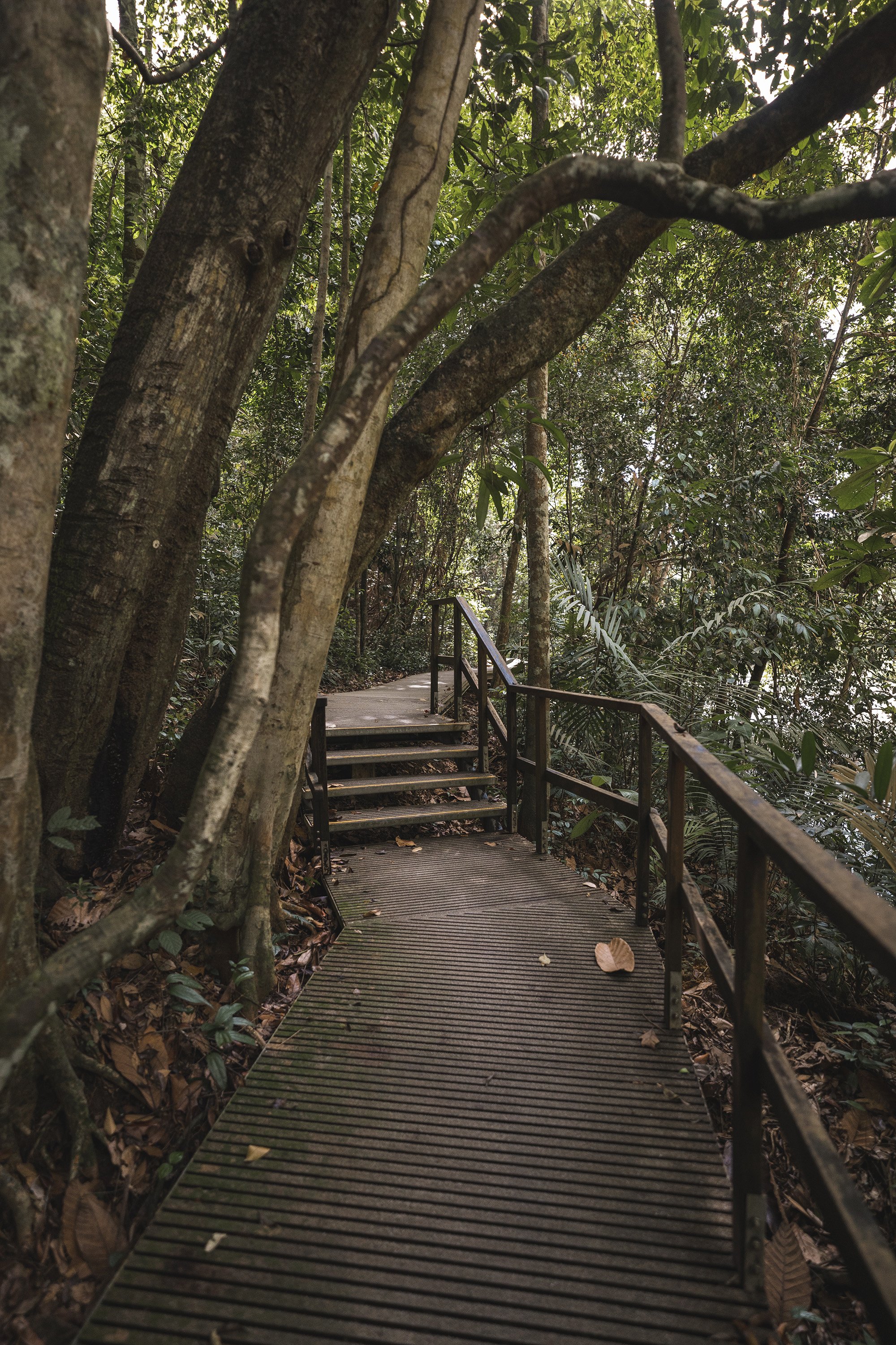

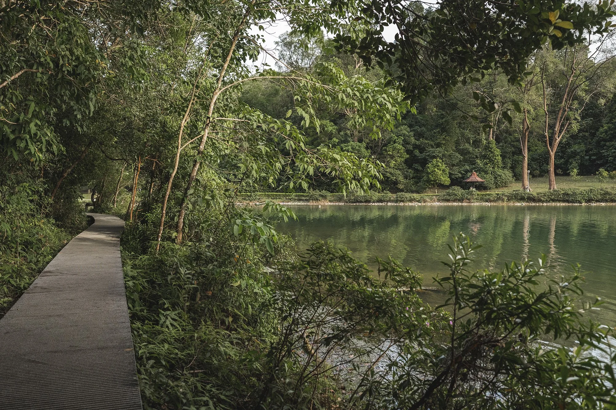
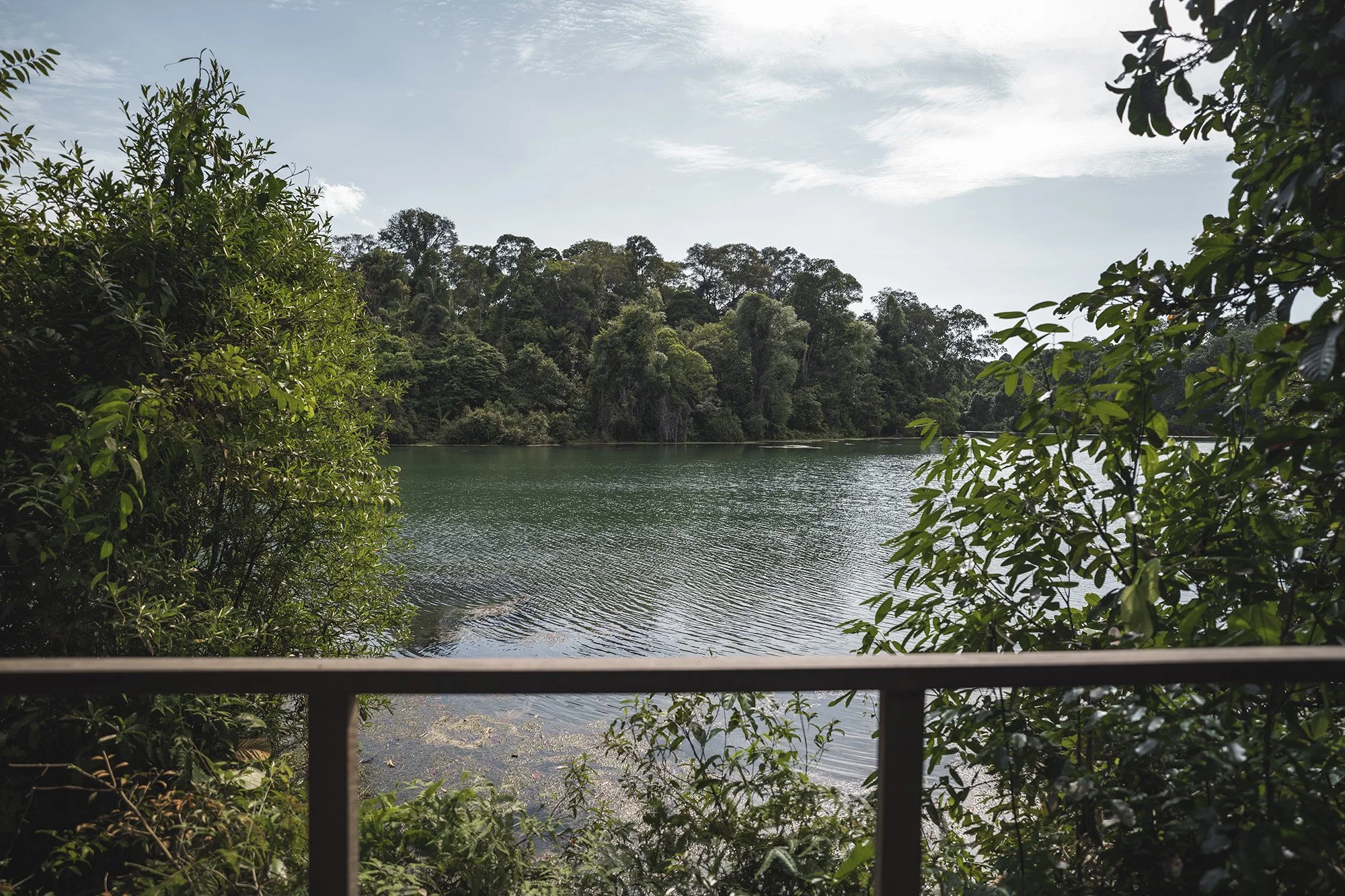
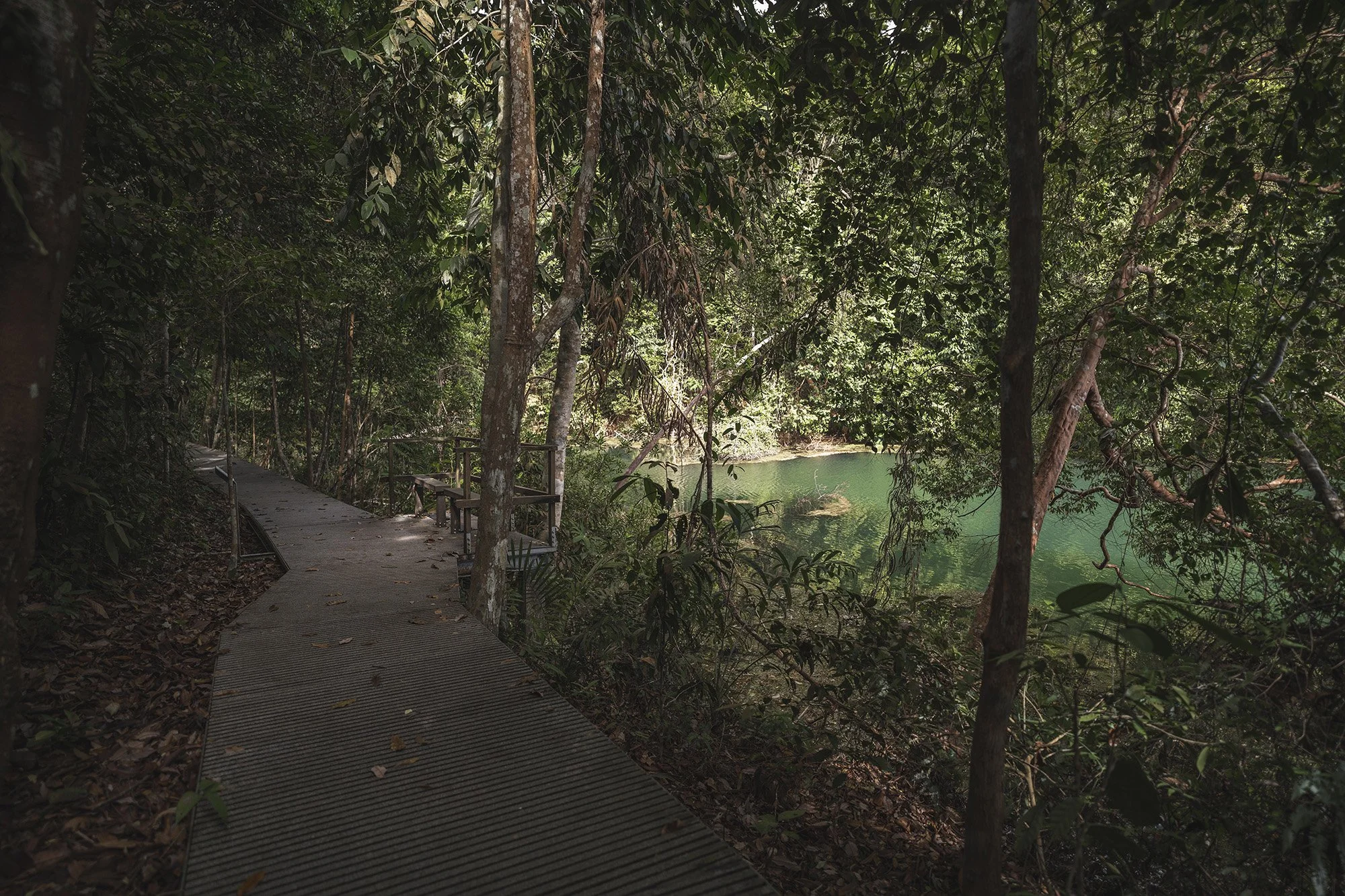
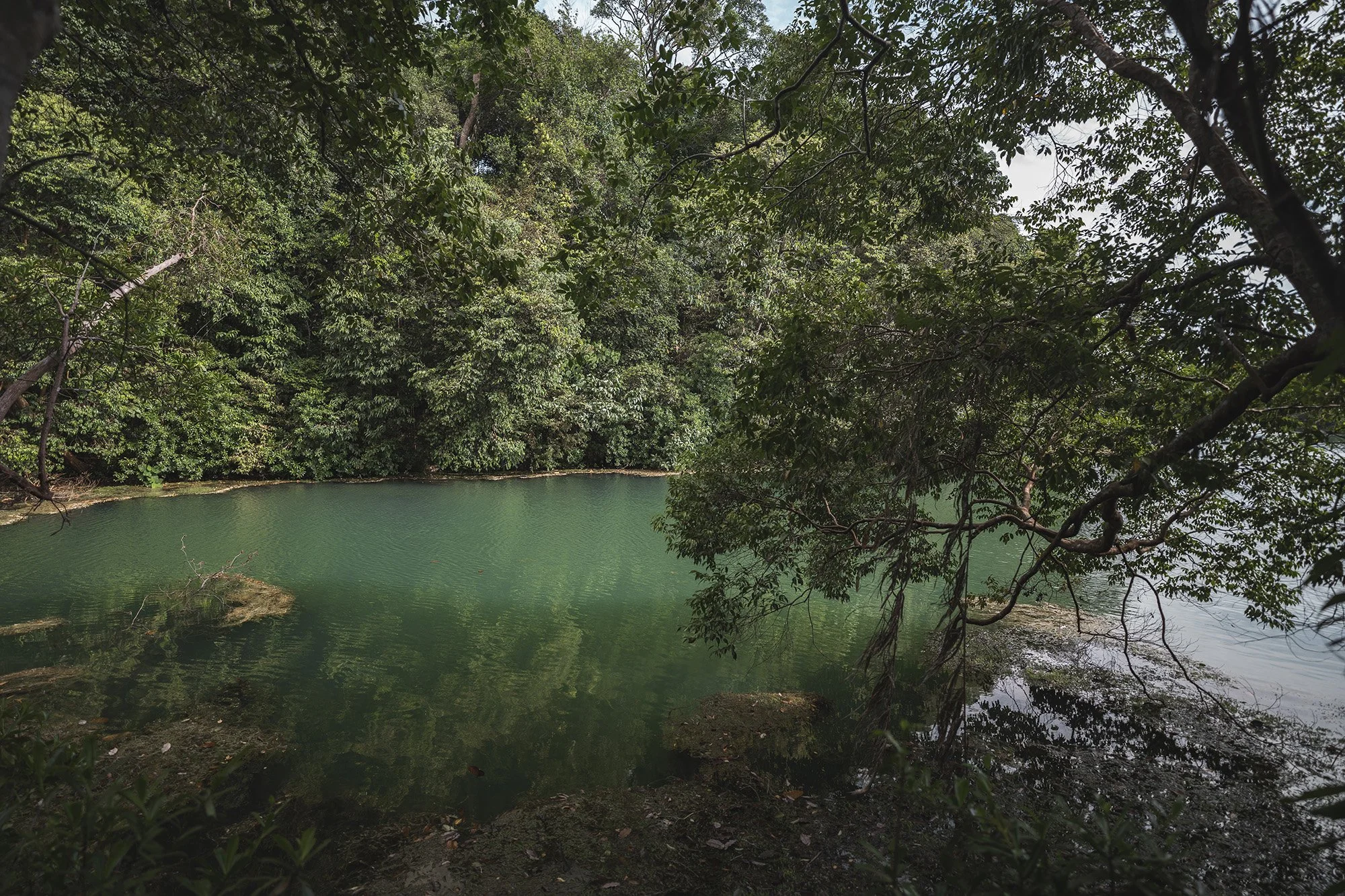
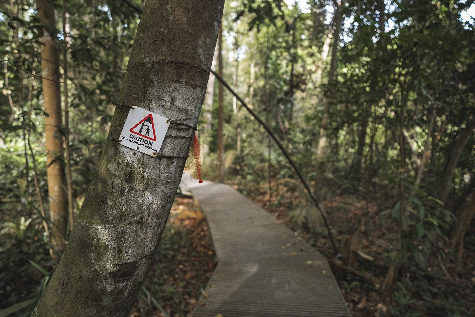
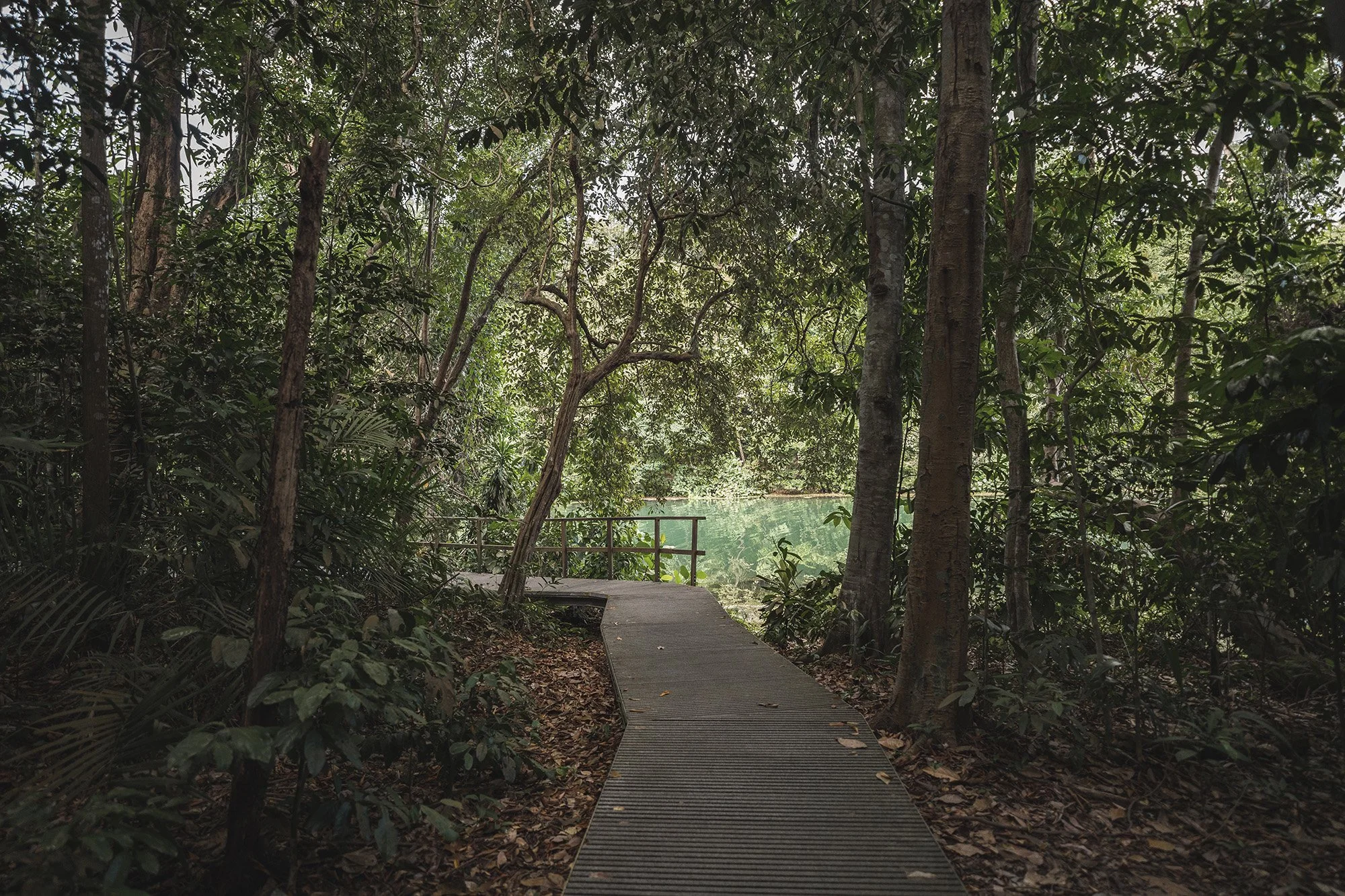
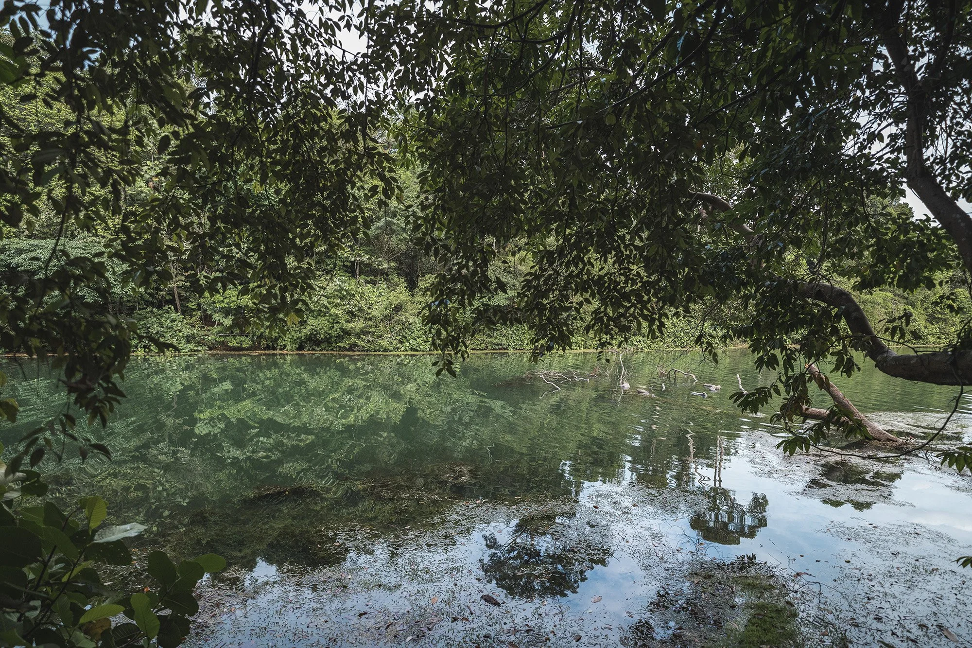
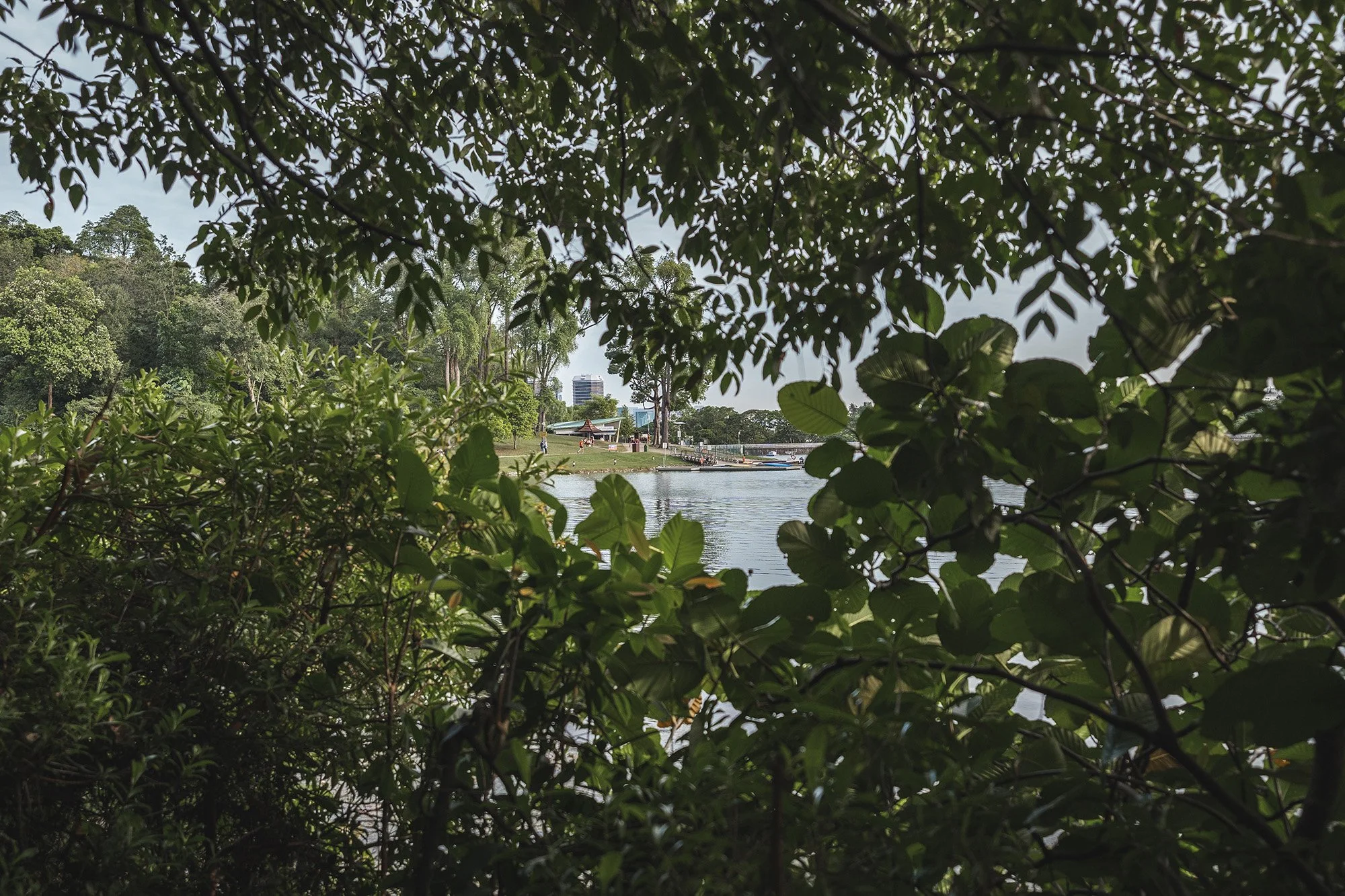
What I love about this boardwalk is that it is well shaded by the forest and the best moments are when you catch glimpses of the reservoir through pockets of clearing in the trees. The trail is also very tranquil and it’s a nice walk to go on especially if you want some alone time to think or just enjoy the scenery.
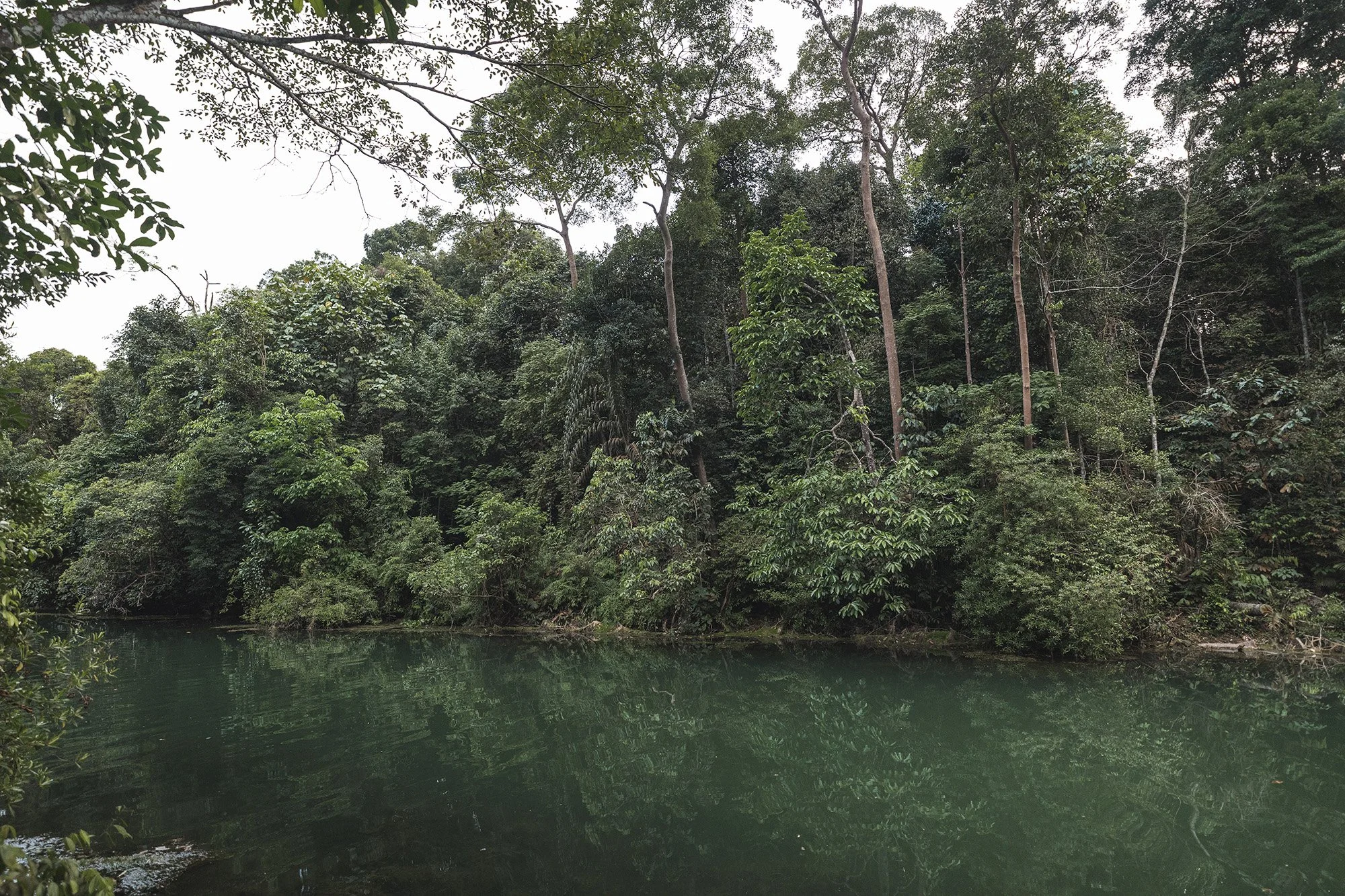
I love seeing the emerald green waters in this area of the reservoir!
You might come across the macaque monkeys which are commonly found in this area. My advice is to not carry plastic bags or bottles as these monkeys are prone to attacking people who are seen with these items. The monkeys are generally harmless if you leave them alone and you will come across signs that discourage feeding these monkeys.
Prunus Trail
Eventually, you’ll come across the junction that will connect you to the Prunus trail. You will also find a set of stairs at this junction that will lead you back up to the dirt path of the Macritchie trail if you prefer those kinds of hikes.
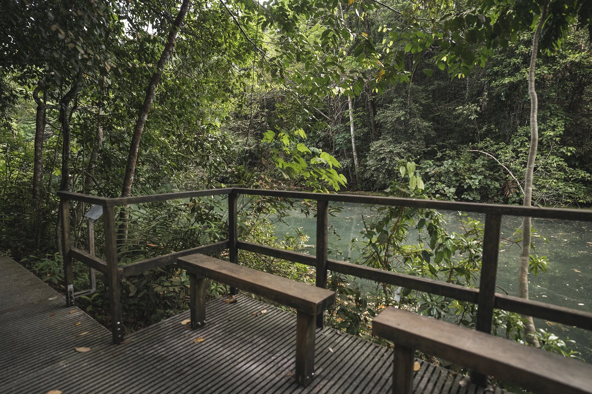
There are a couple of rest points with benches throughout the Petai and Prunus trail. These are good spots to soak in all the beauty of this place!
Eventually, you’ll reach the starting point of the Prunus trail. You might see people canoeing around this area. These are usually students part of their school team doing their practice runs. They usually practice early in the mornings (around 7-8am) or in the evenings (around 5pm). You might hear their coaches yelling in the distance too.
You can hire canoes or kayaks from the Singapore Canoe Federation (click link for website) kiosk but the area that you can cover in the paddling zone (click link for map) of the reservoir is quite limited.
I love seeing natural arches made by tree branches!
Above is the entrance to the Prunus trail if you were starting at Macritchie reservoir. Beside it is the nature trail if you prefer off-the-beaten paths instead (see image below).
Follow the path to take you towards the rental kiosk and the main entrance of the reservoir where you’ll also find the main bus stop.
Above is the path to the main bus stop. If you are standing in the direction of facing the bus stop (like the image above), the Chemperai trail is on the right. I recommend this boardwalk for unobstructed water views of the reservoir!
en route to the ranger station
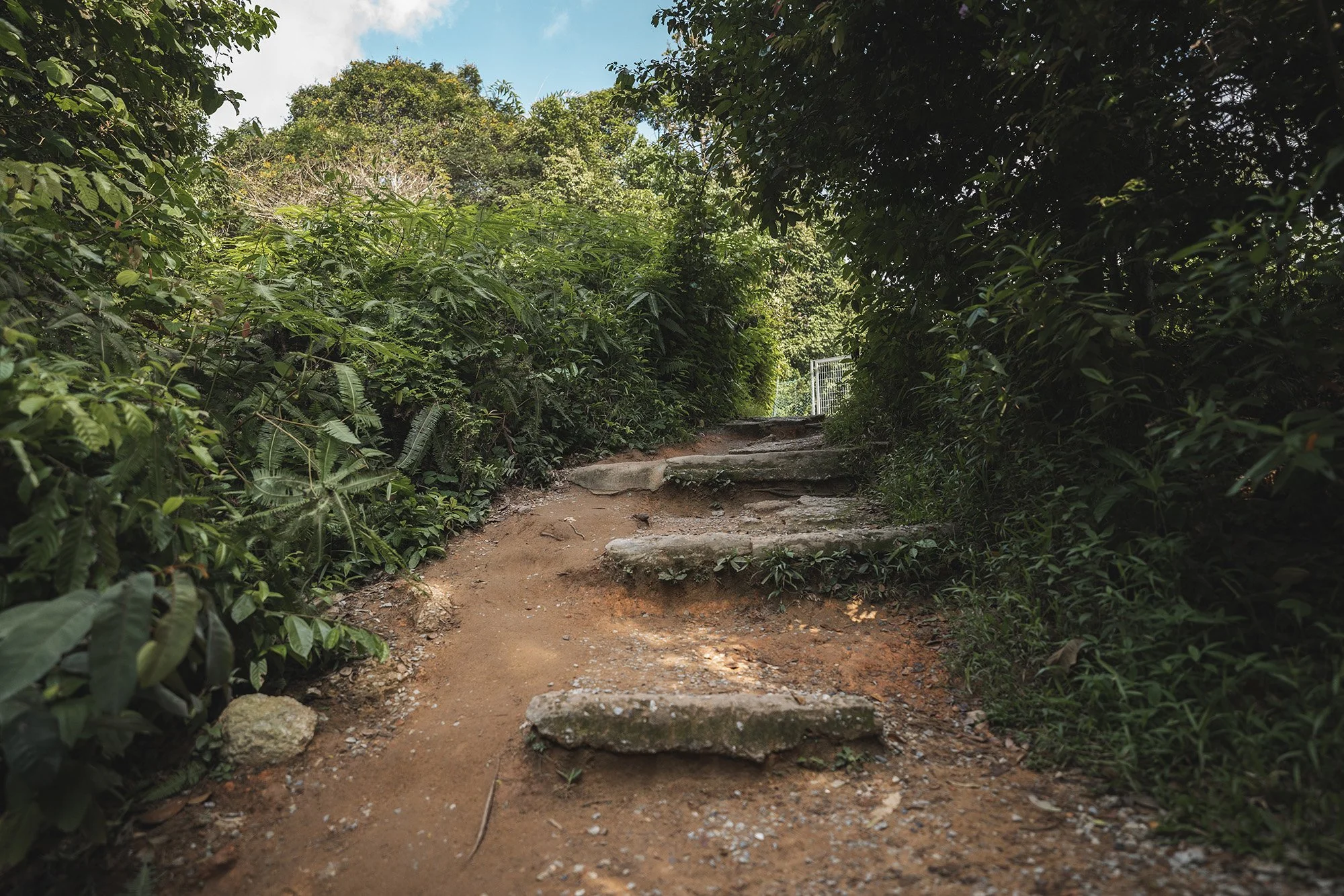
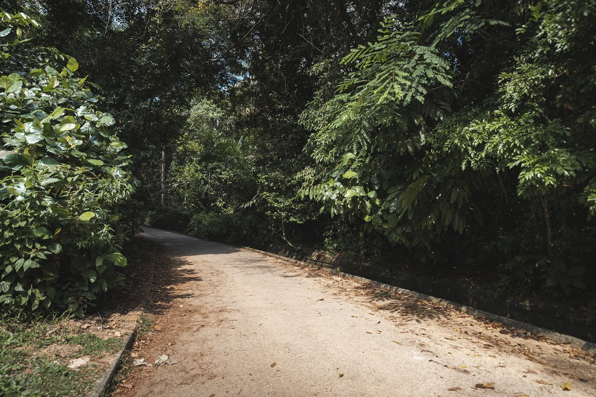
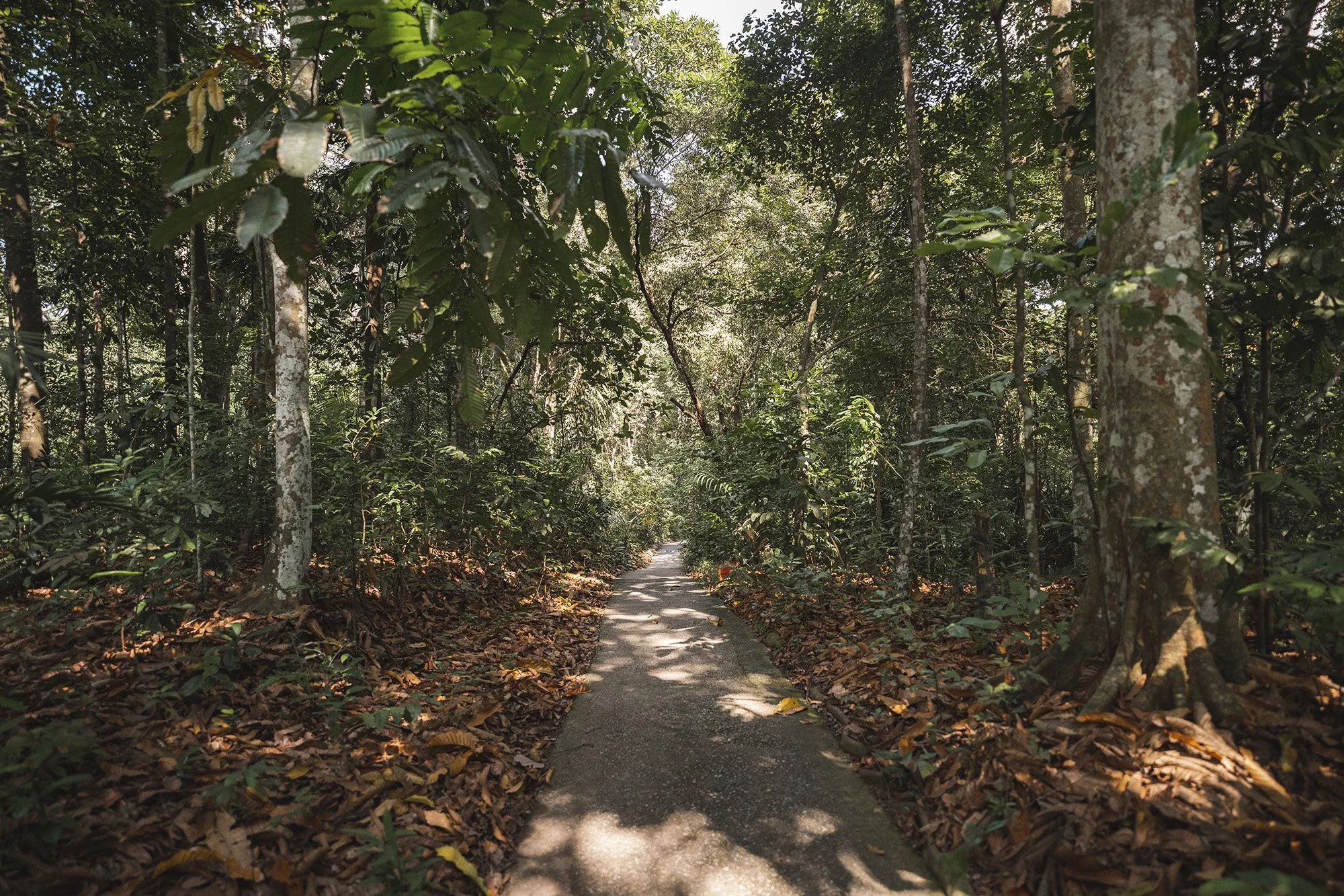
Coming back to the converging point where Windsor park meets Macritchie reservoir, to head towards the treetop trail, you’d want to take the flight of stairs down. Keep walking along the dirt path until you come across these rocky stairs. Soon enough, as you walk up, you’ll hit an asphalt road.
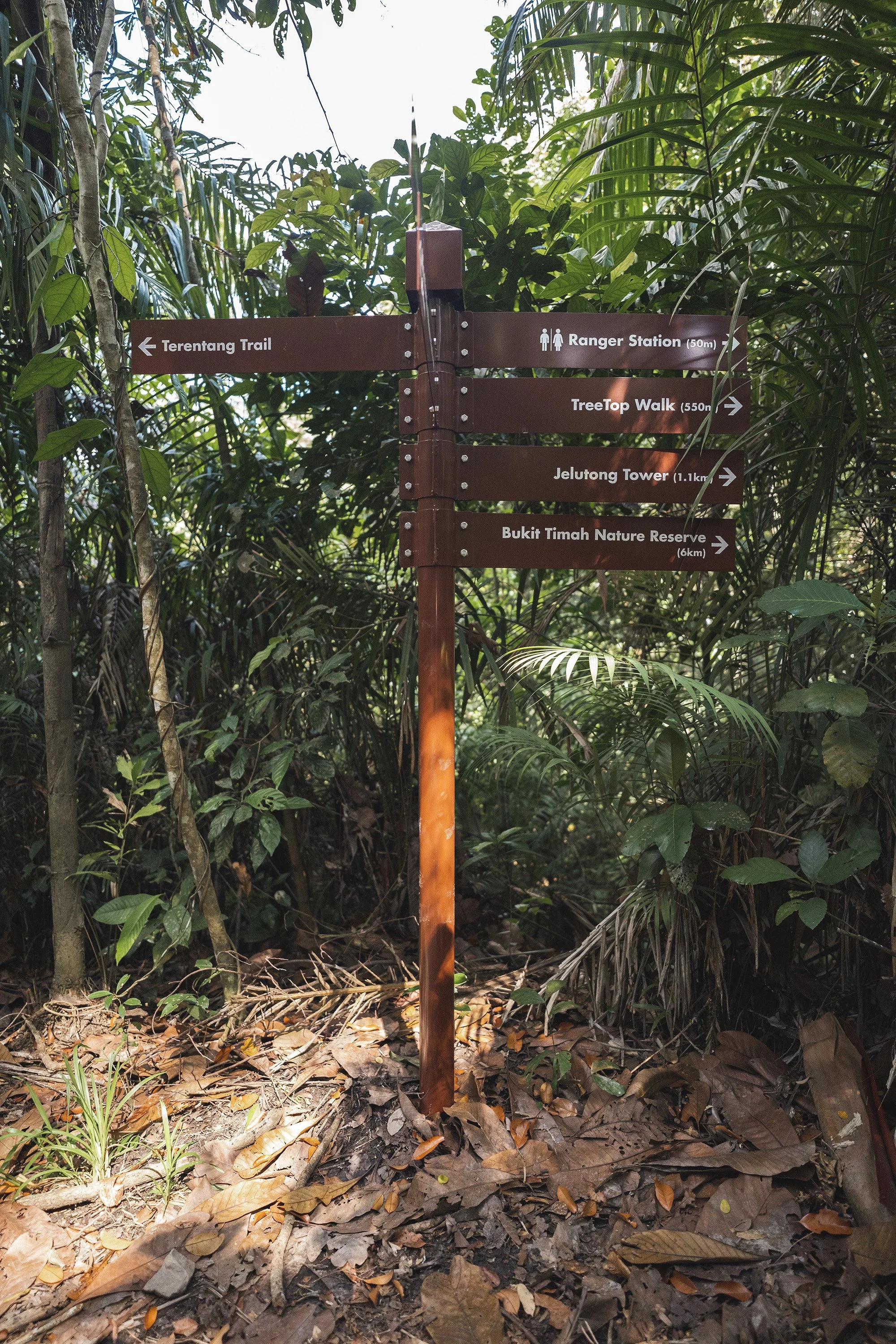
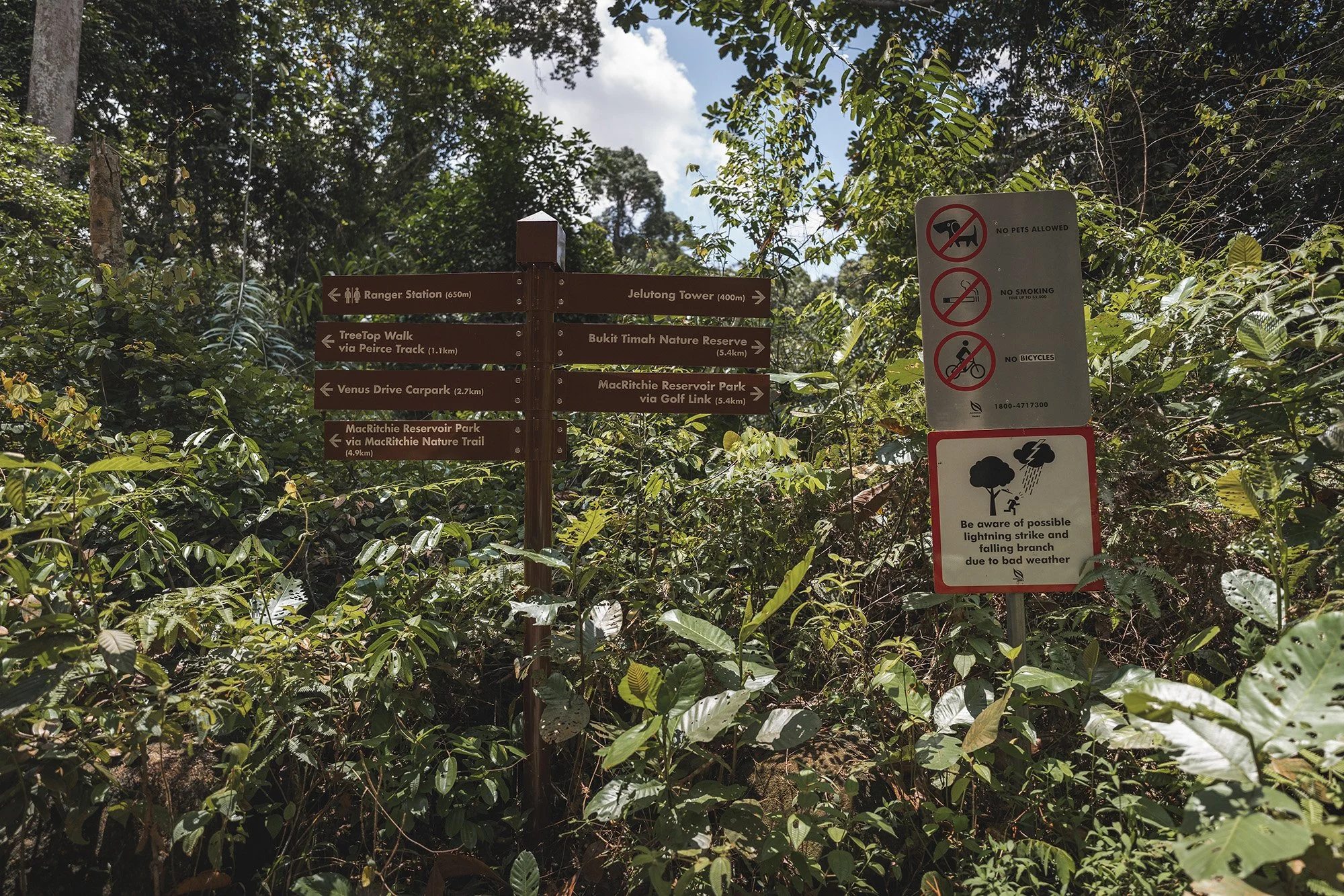
As you walk up the road, you’ll come across a sign post and a barricaded path. You can opt to go down this dirt path or continue ahead on the asphalt road. Both paths will eventually meet again and will lead to the ranger station.
I chose to walk up the road because it’s easier to walk than on the dirt path. I don’t have proper hiking shoes so I find that the gravel always makes it way into my running shoes and it’s a bit annoying to have to empty out from time to time.
Keep following the pavement and eventually it’ll take you down a slope where you’ll meet the aforementioned dirt path.
At the converging point, you’ll see another sign post and the ranger station (which I forgot to take photos of but you’ll see it in my treetop walk vlog) ahead. You will find drinking fountains to refill your water bottle and restrooms at the ranger station. You’ll often find the macaque monkeys too in this area.
ranger station
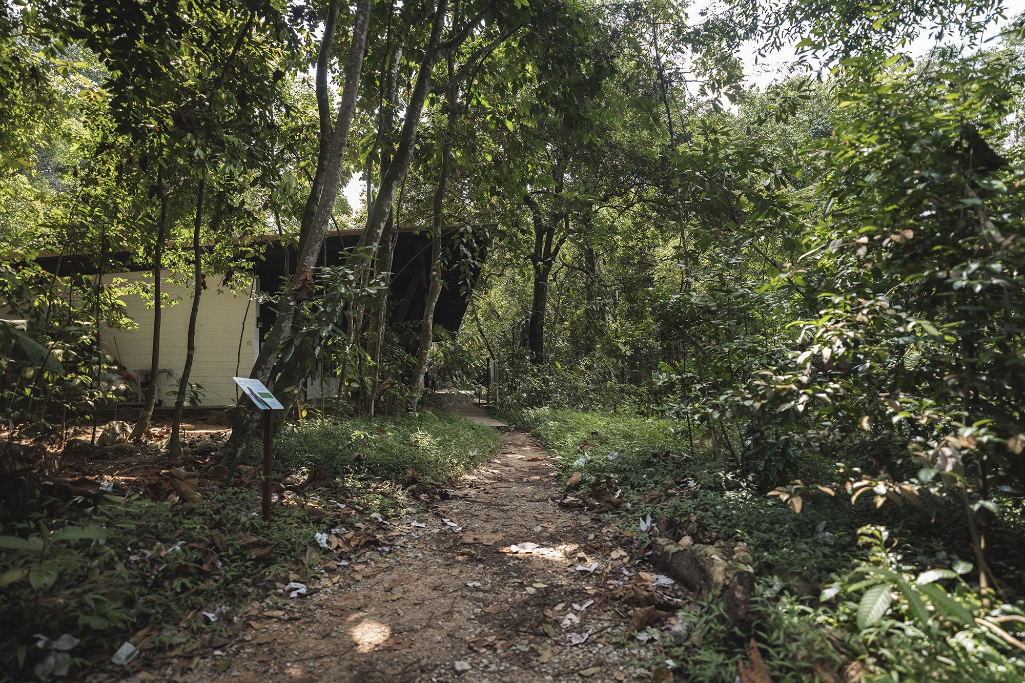
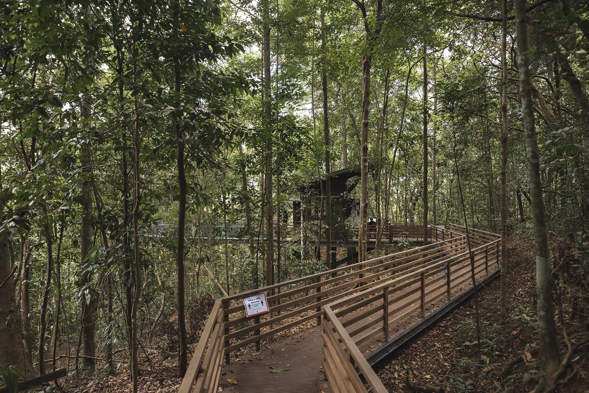
You will find the entrance point of the treetop walk at the side of the ranger station. Don’t be fooled as it is a bit of a walk up.
Follow this gravel path and you will eventually come to the base of the winding slope to the treetop walk which is a fair bit of a climb up.
treetop walk
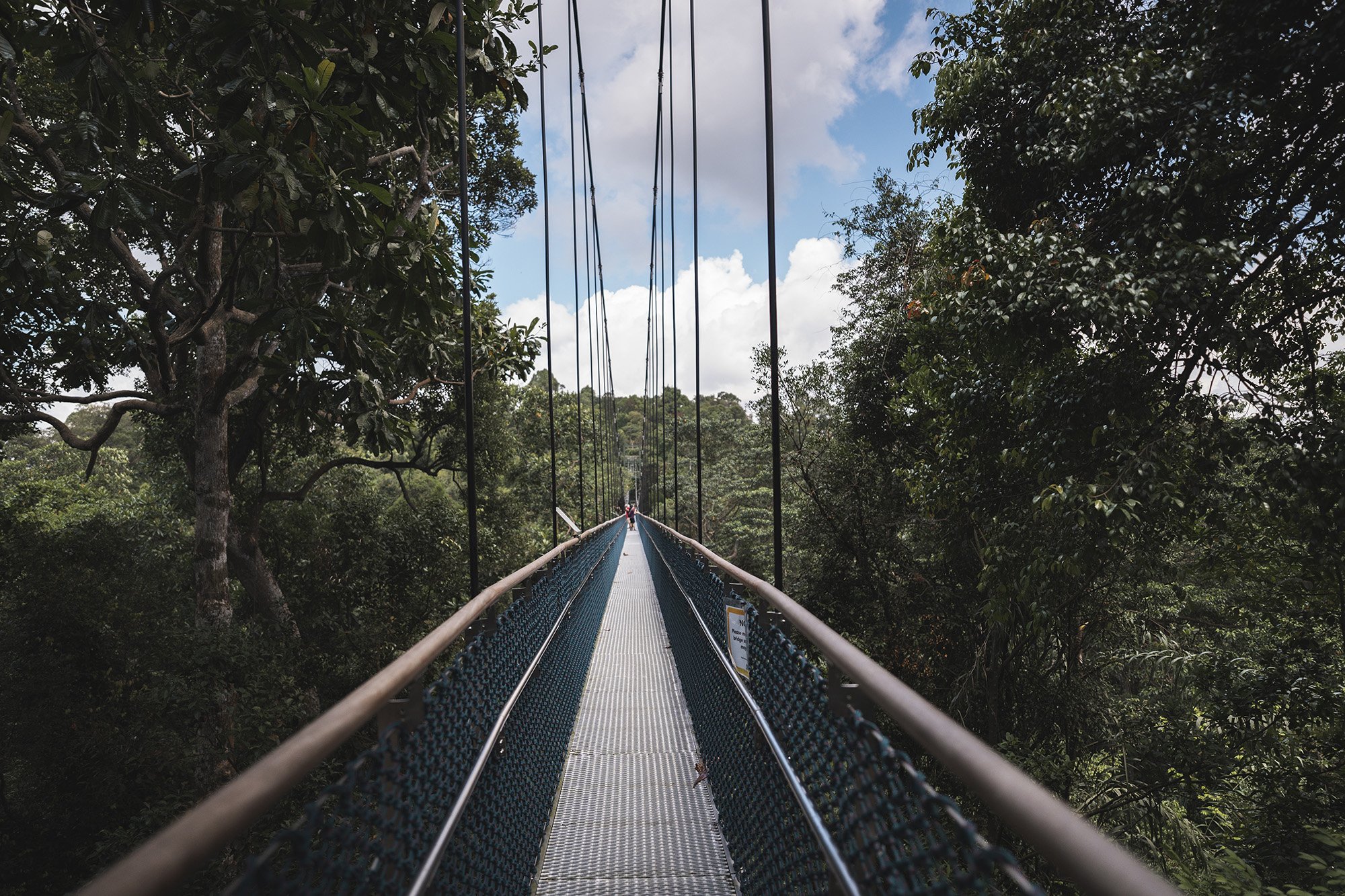
I was surprised to find a queue of people at the opening time of 9am on a weekday (on my first visit). I recommend coming at a later time around 11am-noon (like on my second visit), even though it will most likely be very hot by then. This suspension bridge is also busy on weekends so I recommend avoiding that if you want to take photos of the bridge with few to no people on it.
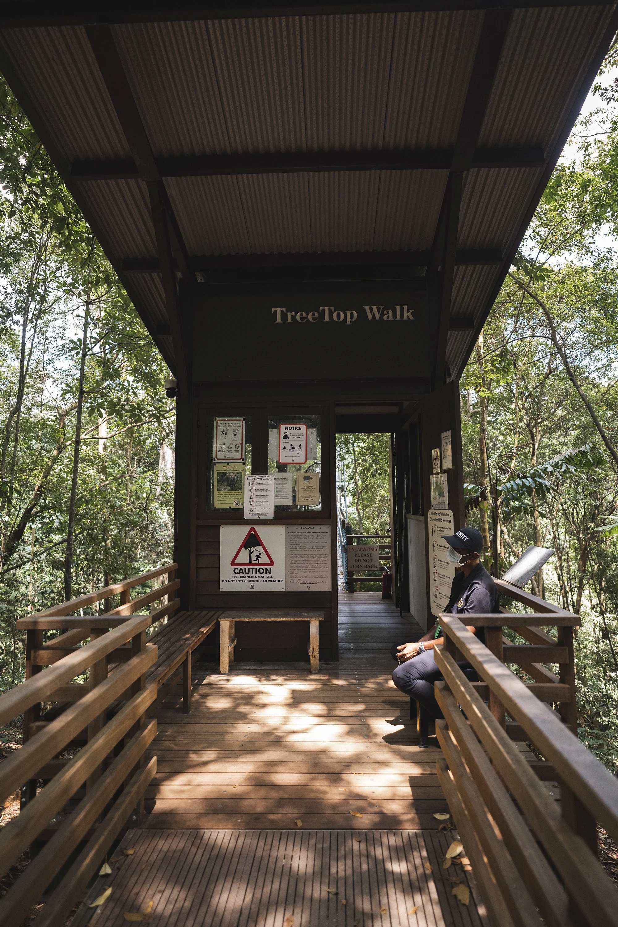
Do note that safe distancing measures are enforced during this time (such as wearing masks at all times and limiting the number of people entering the bridge at a given time) with a guard on duty.
I didn’t have that pleasant of an experience the first time round as the bridge was packed at the opening time of 9am. As someone who is not a fan of heights, it was quite scary standing and stopping on the bridge and feeling the bouncing motion from the suspension. When I came back the second time (close to noon), there were less people and I could take a lot of nice photos and movement on the bridge was more fluid (with little traffic congestion). The only times that I could feel the bouncing motion was when I stopped and made myself aware of it. The good thing was that I wasn’t gripped with fear as I was, the first time round.
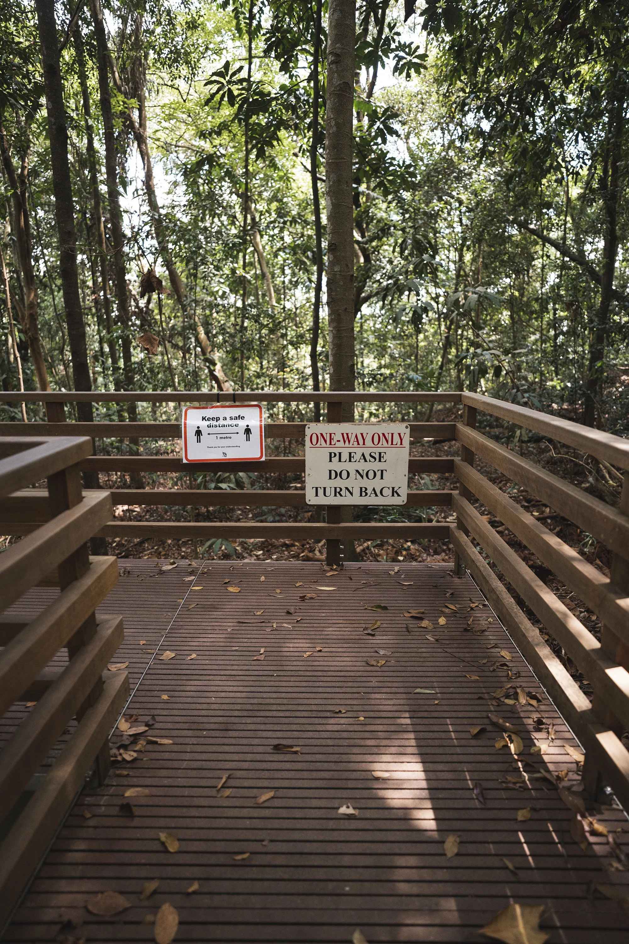
Do note that this is a one-way street! There is no turning back once you set foot on this bridge.
After you exit this suspension bridge, it’ll be a fair way up and down many flights of stairs and boardwalks.


You’ll come across 2 huts that are rest points and eventually you’ll make it to the T junction that will take you back to the ranger station or Macritchie reservoir (via the golf link) which will connect you to the Chemperai trail which is 5.4km away!
Whichever route you choose, the entire hike will take you around 3-4 hours so I recommend you eat beforehand or bring snacks and drinks to get you through the hike!
It’s a trail that I definitely recommend to anyone, especially if you are visiting Singapore and want to see a non-touristy side to this city.
LIKE THIS POST? PIN IT FOR LATER AND SHARE IT WITH OTHERS!

